What your laser scan package includes
A complete 3D laser scan survey typically includes:
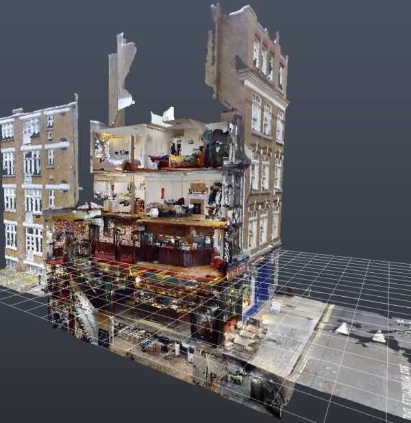
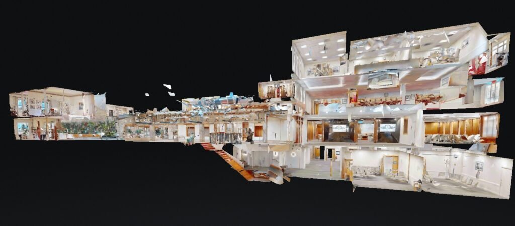
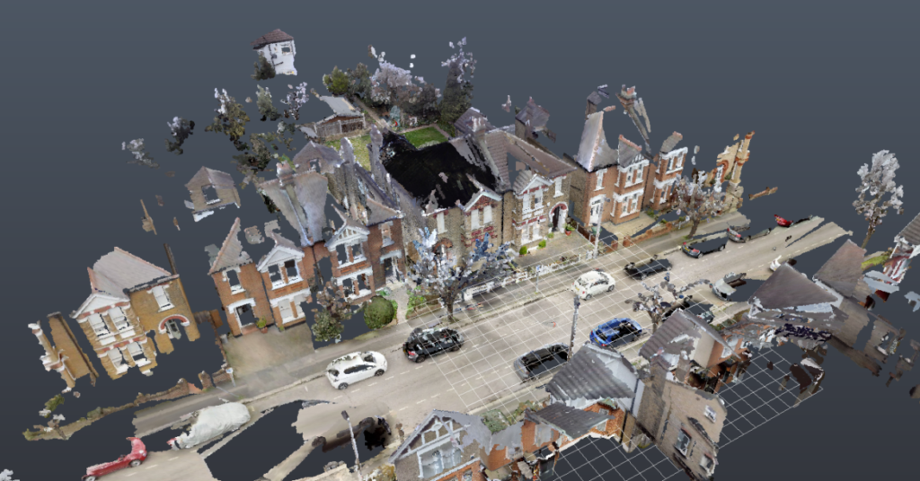
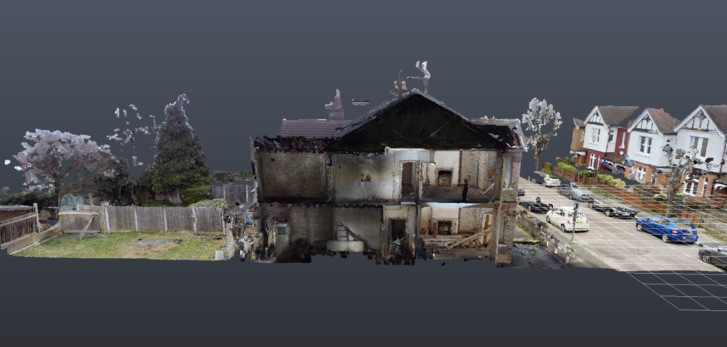
- Full internal and external scanning
- Floor plans, elevations, and sections (optional)
- Revit model creation (optional)
- As‑built verification (optional)
- Drone photogrammetry for large sites (optional)
Our process
A precise, technology‑driven workflow:
- Site visit and scanning We capture millions of measurement points using professional laser scanning equipment.
- Point‑cloud registration All scans are aligned, cleaned, and merged into a single accurate dataset.
- Drawing or model creation (optional) We can convert the scan into 2D CAD drawings or a full 3D Revit model.
- Technical integration Structural, drainage, and Building Regulations elements can be added if required.
Fees
Typical fees start from:
- £295–£495 for small residential scans
- £495–£895 for full‑property scans
- £895+ for large, complex, or multi‑storey buildings
A fixed quote is provided after reviewing your property layout.
Borough‑specific considerations
Laser scanning is especially valuable in boroughs with complex or historic buildings:
- Kensington & Chelsea — heritage façades, rooflines, and irregular structures
- Westminster — conservation areas and mixed‑use buildings
- Camden — Victorian terraces with inconsistent geometry
- Lancashire authorities — older stone buildings and irregular extensions
Accurate geometry helps avoid planning disputes and structural surprises.
Common mistakes to avoid
Projects often face delays or redesigns when:
- Manual measurements are inaccurate
- Roof geometry is mis‑drawn
- Levels and datums are inconsistent
- Contractors work from outdated drawings
- Planning drawings don’t match real‑world conditions
- Structural engineers lack accurate existing data
Laser scanning eliminates these issues with millimetre‑level accuracy.